Yield maps for every season
Yield in t/ha, each spot against the paddock average, low, medium and high zones, and grain moisture. Cleaned of harvester noise, and calibrated to your delivery dockets if you add them (coming soon).
Upload your harvest files once a year. See yield across every paddock, the zones that hold year after year, and where to soil sample.
Create an accountSign in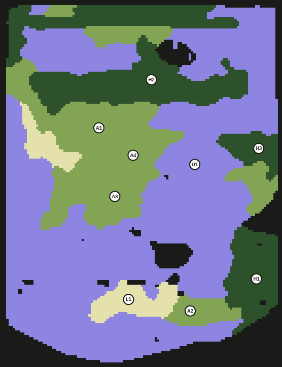
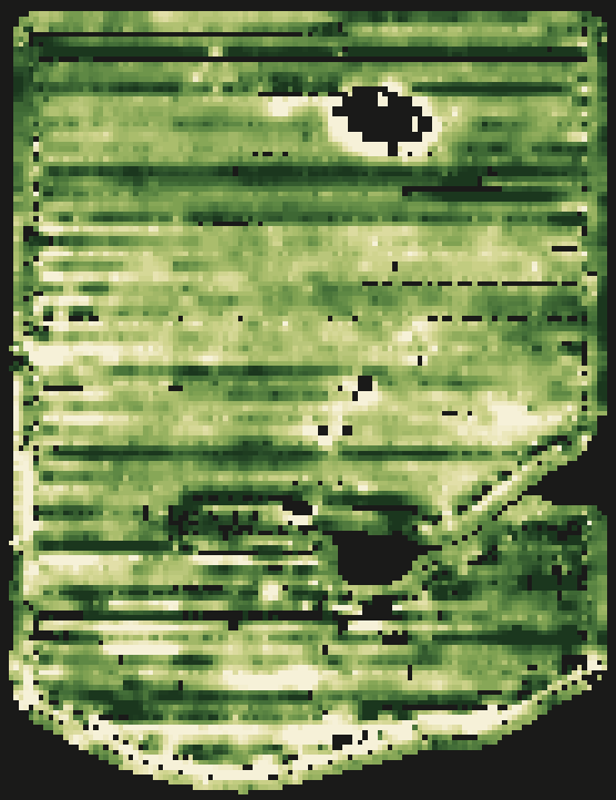
Yield in t/ha, each spot against the paddock average, low, medium and high zones, and grain moisture. Cleaned of harvester noise, and calibrated to your delivery dockets if you add them (coming soon).
The parts of each paddock that yield high or low season after season, from two or more harvests, with likely causes from the landform, such as sandy rises or wet hollows.
Up to nine suggested sites per paddock, placed in each zone. Download them as a shapefile or CSV for your GPS app or the lab.
All your farms and paddocks in one place, every season side by side. You choose who else can see them.
All your growers in one list. Add a grower and upload for them, or ask a grower who already uses PaddockPix for access.
The display backup, or the export from your farm software, zipped.
We read the farm, paddock, crop and season, and match each paddock by where it sits on the ground.
Usually ready within a few minutes.
Files it reads: Case IH display backups and shapefile exports, John Deere Operations Center and Gen4 exports, ISOXML task data (CLAAS, Fendt, New Holland and other ISOBUS displays), Trimble and Ag Leader shapefiles, and CSV.
PaddockPix started on our own family farm. Our yield files were hard to get working in the field-mapping platforms we had. My background is in GIS, earth observation and software development, so I set out to build something that made it easier. It turned out better than I expected, and now I'm hoping it will help other growers and advisers too.
Pixel Analytics
Your files are private to your account and the people you choose. We keep the originals so your maps can be rebuilt as the processing improves, and we never sell or share them. Terms and privacy